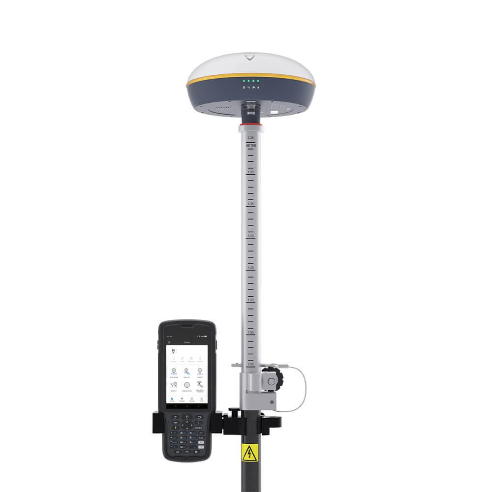
Unlock the Potential of Reality Capture and Surveying
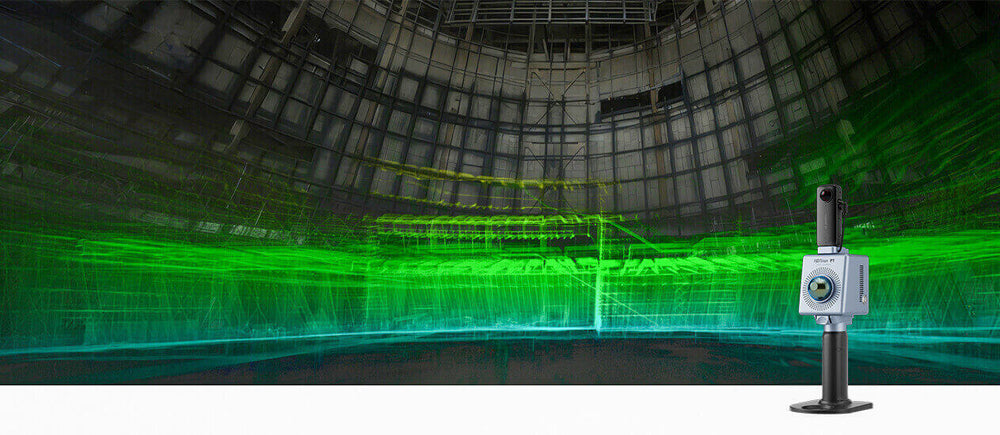
Explore the world with our advanced geospatial technology. FJD Trion provides cutting-edge solutions for surveying, measuring, mapping, and 3D modeling, catering to professionals across diverse industries. Our comprehensive solutions of hardware and software delivers precise and dependable geospatial outcomes for our valued customers.
Hot Selling Products
5 products
Product Introduction
Short videos that introduce FJD Trion 3D LiDAR Scanner and Trion Model Software.

FJD Trion S1 | 3D LiDAR Scanner

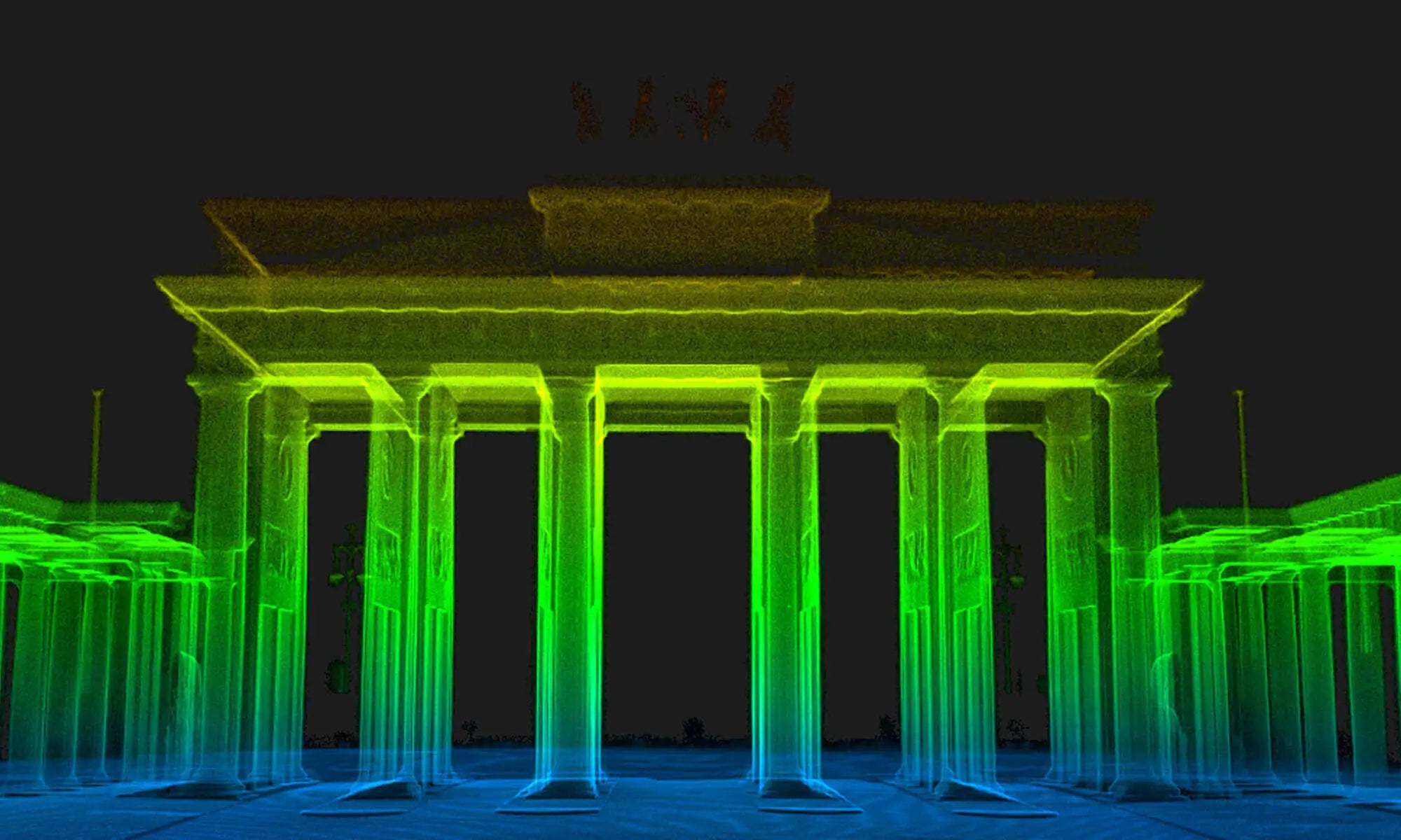
FJD Trion P1 × Brandenburg Gate Berlin

Introducing FJD Trion Model
FAQs
Q1: Compared with other brands, what are the benefits of FJD Trion S1?
A1: FJD Trion S1 Handheld 3D LiDAR scanner offers you a new way to "look" the world around you. As a 3D LiDAR scanner, it is light weight and portable, which could be used as an indoor LiDAR scanner, outdoor LiDAR scanner and underground LiDAR scanners, even in the sky with drones. With 320,000 scan points per second, S1 Handheld LiDAR 3D Scanner can quicky catch high-quality scans. Powered by Leading SLAM algorithm, S1 can also capture, process and display accurate point cloud on the mobile terminal in real-time.
Q2: How does the scanner colorize the point clouds?
A2: Elevated by default, the indoor LiDAR scanners and outdoor LiDAR scanners support density and even the real scene with the camera to colorize the point clouds.
Q3: Do you view what is captured in real time on an app or how do you know what is captured?
A3: The 3D Handheld LiDAR Scanner connnect Trion Scan through WIFI, so it can display the point clouds real-time on the mobile terminal.
Q4: What software should be used to process the data collected by FJD Trion LiDAR Scanners?
A4: The FJD Trion Scanner generates universal point cloud formats like .las, .pcd, .pts, and .ply, and the data can be directly viewed and processed in by FJD Trion Model point cloud processing software. The .fjdslam format is used for post-processing through FJD Trion Model.
Q5: Does FJD Trion 3D LiDAR Scanner support real-time processing? Can point clouds be processed in real time without a data logger?
A5: Yes, scans can be viewed in real-time in FJD Trion Scan. The FJD Trion 3D LiDAR Scanner stores and processes the data without the need of an external data logger.
LiDAR Technology
LiDAR is a remote sensing technique that relies on laser light to gather measurements. This data is subsequently employed to develop 3D models and maps of objects and environments. LiDAR stands for Light Detection and Ranging, and it's commonly referred to as LiDAR technology.
A LiDAR system determines the duration required for light beams to hit an object or surface and then bounce back to the portable laser scanner. By utilizing the velocity of light, the distance can be computed. These measurements are referred to as 'Time of Flight' calculations.
Based on the type of sensor used, LiDAR 3D scanning units can emit hundreds of thousands of pulses per second. These light waves interact with objects and return to the LiDAR sensor. By analyzing the time taken for each pulse to return, the LiDAR sensor calculates the distance. Each of these pulsed laser measurements, or returns, is transformed into a 3D visualization called a 'point cloud'.
LiDAR offers numerous benefits across various industries.
Mapping: For surveying tasks, LiDAR is invaluable for gathering three-dimensional data. They can generate digital terrain model (DTM) and digital elevation models (DEMs) of specific landscapes.
Architecture: LiDAR 3D scanning systems are widely used in surveying the built environment, including buildings, road networks, and railways.
Real Estate: An indoor portable laser scanner is employed to measure space and create precise floor plans. They help assess the structural integrity of buildings, plan spaces, and identify areas that require repair or renovation.
Construction: LiDAR technology tracks building projects and creates digital twins for Building Information Modeling (BIM) applications. It also aids in producing 3D models for the conditional monitoring of structures and Revit models for architects and structural engineers.
The Environment: LiDAR has numerous environmental applications, such as mapping flood risks, estimating carbon stocks in forests, and monitoring coastal erosion.
LiDAR surveying is a rapid and efficient method for gathering 3D information. Employing laser pulses to compute distances, acquire precise measurements, and evaluate ranges has become increasingly preferred. This straightforward approach to data acquisition is renowned for its precision, speed, and adaptability.
Portable laser scanner employs trigonometric triangulation to skillfully capture a 3D form by taking millions of points. A LiDAR device operates by projecting a laser line or several lines onto an object. It then records the reflection using a single or multiple sensors, which are situated at a fixed distance from the laser's origin. Consequently, precise point measurements can be attained by computing the reflection angle of the laser beam.
Speed: Thanks to LiDAR's ability to process hundreds of thousands of points per second, surveying has become a highly efficient method. Inside-building scans can be completed within a matter of minutes, and large-scale surveys can be finished in under an hour, all without needing GPS.
Accuracy: With LiDAR systems, data collection is incredibly dense, with minimal space between points, leading to exact results. This accuracy allows professionals to create detailed maps and models of both natural and artificial geographies.
Flexibility: LiDAR provides numerous options for surveying land. Hand-held devices are perfect for LiDAR 3D scanning and can be easily mounted on vehicles, poles, or drones. Additionally, LiDAR data can be collected at any time, whether during the day or night, as it relies on light as its measurement tool.
Safety: Due to their relatively fast operation and remote control capabilities, LiDAR systems are ideal for hazardous areas where human operation may not be feasible or safe for extended stays.
Create Wiser Solutions in AEC Industry
FJD Trion leads the way in 3D solutions for the architecture, engineering, and construction (AEC) industry, providing smart and efficient decision-making tools. In this fast-paced industry, meeting deadlines, boosting efficiency, improving quality, and staying within budget are essential. With FJD Trion's 3D LiDAR Scanners as advanced surveying tools, you can achieve all these goals efficiently.
Preserve and Document Historical Structures
It is definitely an good option to preserve and document the world's culturally significant structures with FJD Trion's 3D scanning tools. Ancient structures, monuments, statues, and excavations degrade over time. Our technology helps historians and archaeologists efficiently capture, manage, and analyze as-built data for conservation, saving these valuable landmarks for future generations.
Work Safe and Smart with Mining Technology
FJD Trion's mining technology ensures stability, safety, and efficiency in even the most hazardous conditions. Our Handheld 3D LiDAR Scanner detects even the slightest seismic variations, while also serving as an advanced surveying tool for difficult, hard-to-reach locations. In the mining industry, work confidently and securely with FJD Trion geospatial tools by your side.
Point Cloud Colorization
Drag the image button below to check the changes after point-cloud processing.

Before
After
Which Fits Me Better?
Find out which is the best portable laser scanner solution for your requirements.
Trion S1
Trion P1
Scanner: 1.8 kg
Data logger: 2.2 kg
Scanner: 1 kg / 2.2 lbs
80 m @ 10% reflectivity
120 m @ 90% reflectivity
40 m @ 10% reflectivity
70 m @ 80% reflectivity
320,000 points/second
200,000 points/second
4h (dual battery)
2h per battery grip (two in the box)
16.6 million
12 million
360°
180°
360° × 270°
360° × 59°
For all scenarios, especially larger outdoor scans that require geo-referencing
Lightweight and compact as a large water bottle for quick grab and go missions
Industry Solutions
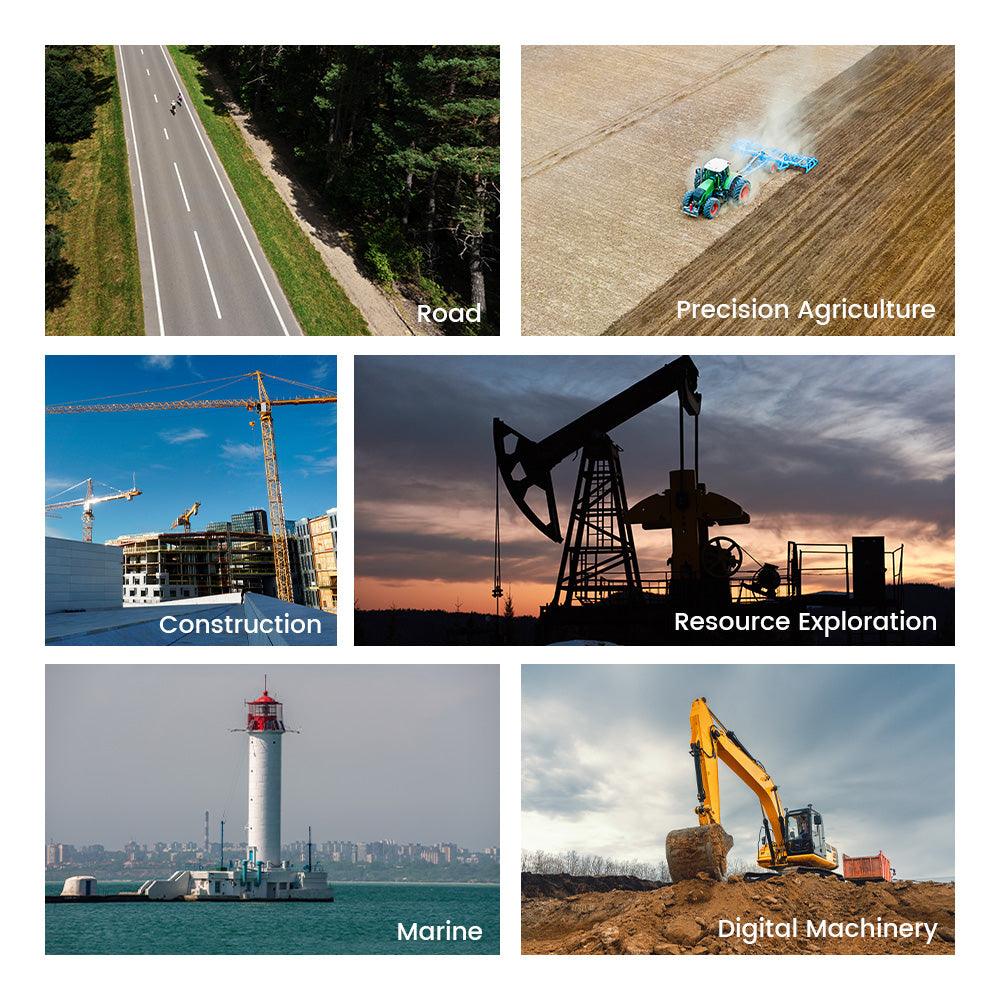
Solutions for diverse industries, rebuild what you see with higher efficiency.
What Our Customers Say
Love it. Didn't expect it to be this good. RTK fusion works. It reduces error from 23mm to 13mm in 40m length. Not to mention the RAW file. So much detail and so little noise.

Thank you very much FJDynamics for coming up with this fantastic rather affordable device. I'm actually 100% convinced we're going to get way more out of this than what we invested in.

The scanner proved to exceed my expectations both indoors and outdoors. The software is intuitive and powerful. The pre-sales and after-sales service is excellent.

Latest Blogs
Subscribe to get the latest news and thoughts about FJD Trion 3D LiDAR Scanner.
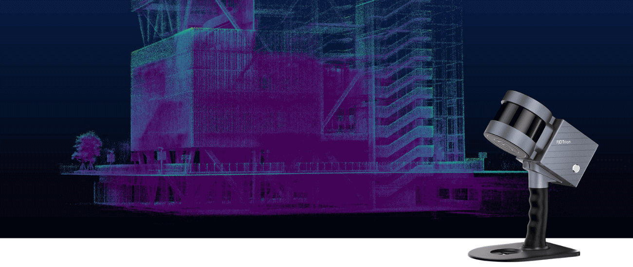
A Complete Guide to Choose the Best 3D Handheld Scanner

Everything You Need to Know About SLAM Technology
Lidar Scanning for Beginners: How to Achieve Accurate Results with Portable 3D Scanner
Our Community


