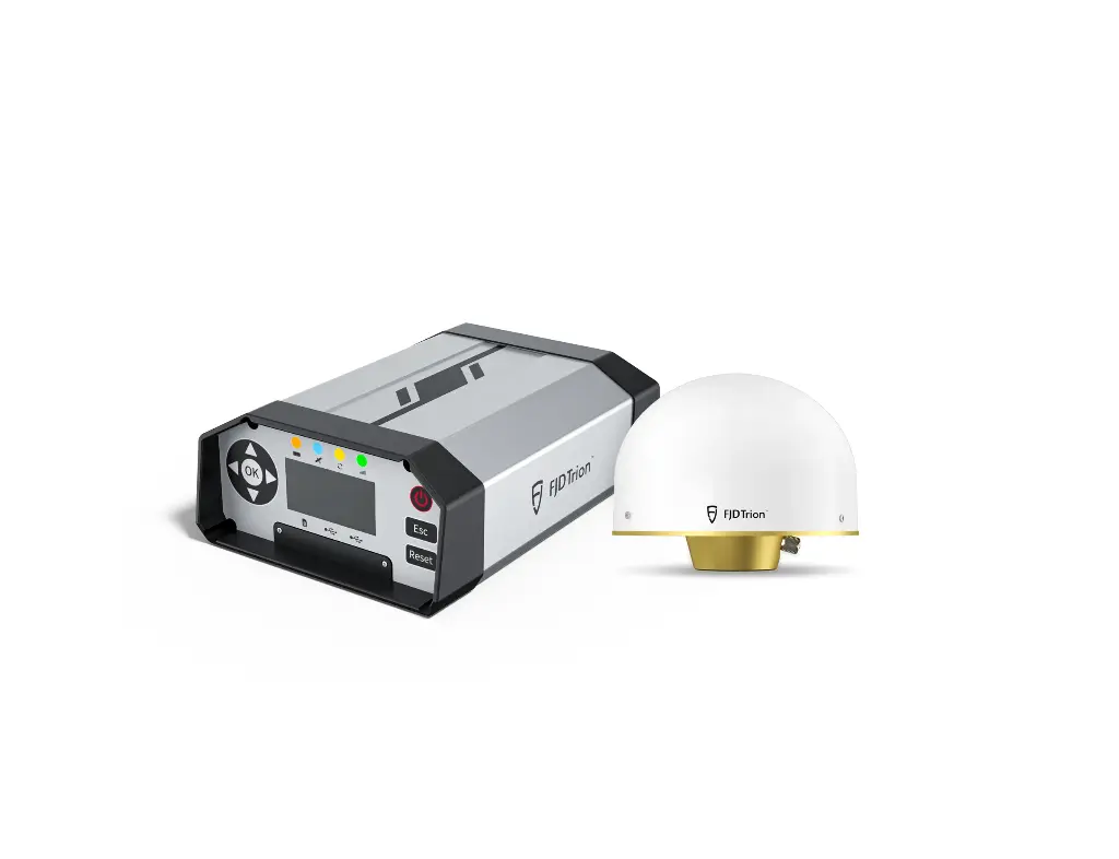


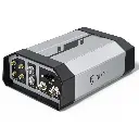


FJD Trion N10 CORS SYSTEM
High-performance GNSS CORS system delivering fast, stable, and accurate RTK corrections for agriculture, surveying, and robotics.
- Multi-Constellation & Multi-Frequency: Supports GPS, GLONASS, Galileo, BDS, and QZSS across 16 frequency bands.
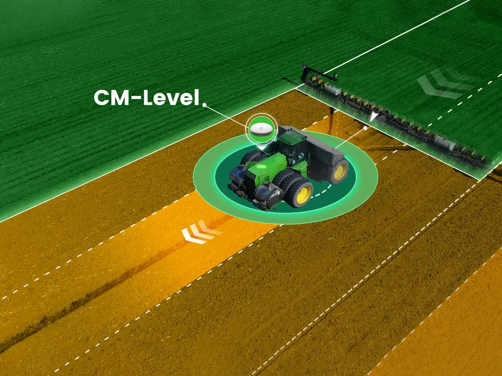
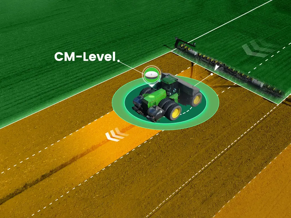
- Centimeter-Level Accuracy: Support single RTK and VRS, horizontal accuracy better than 2 cm, vertical accuracy better than 5 cm.
- 24/7 Reliable Operation: Continuous correction data service, with a built-in battery supporting ≥24 h backup and MTBF ≥25,000 h.
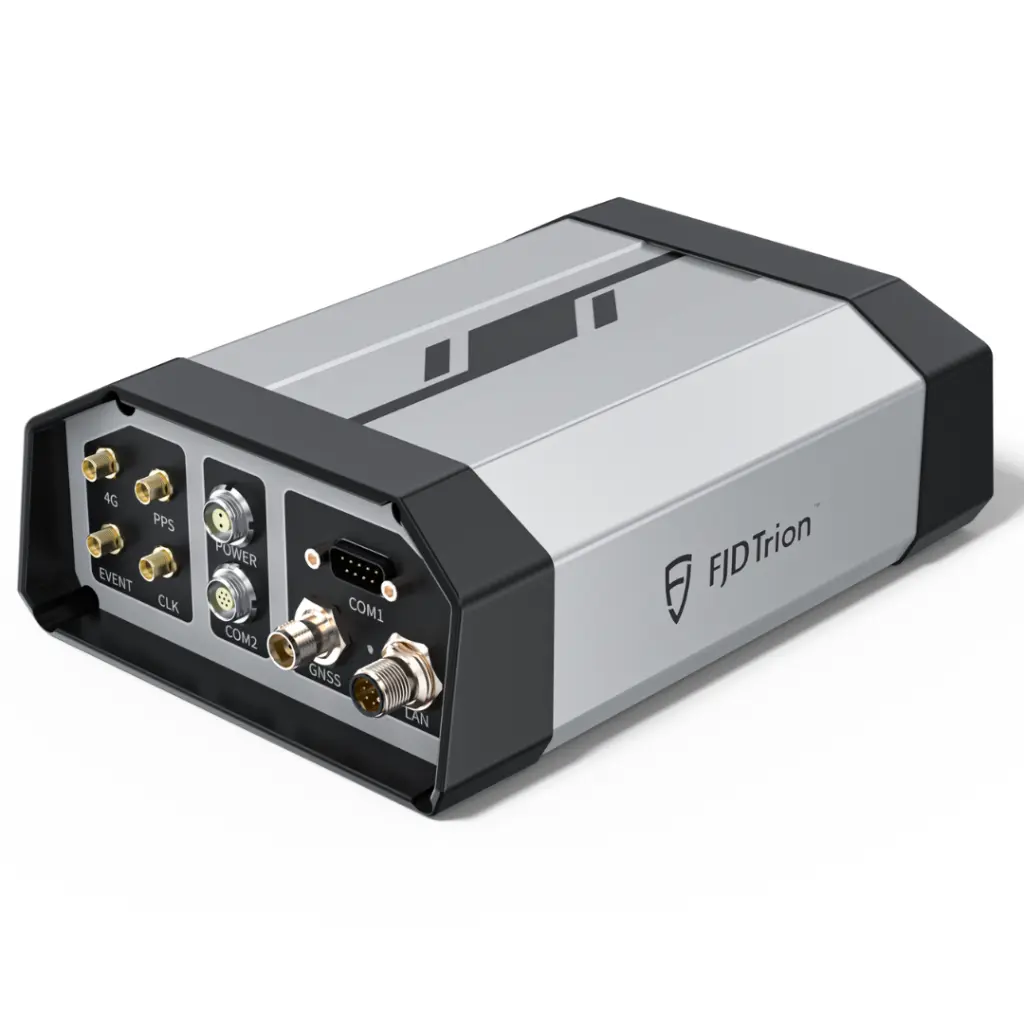
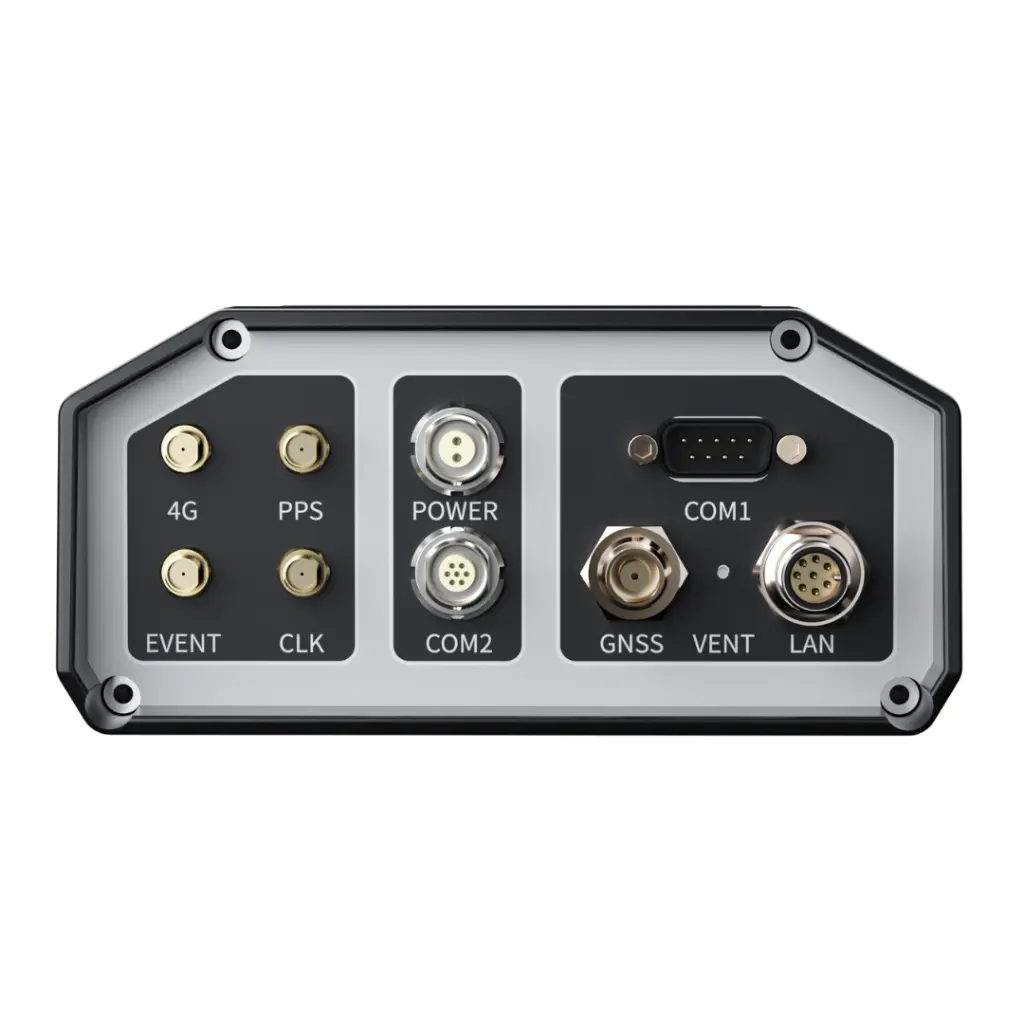
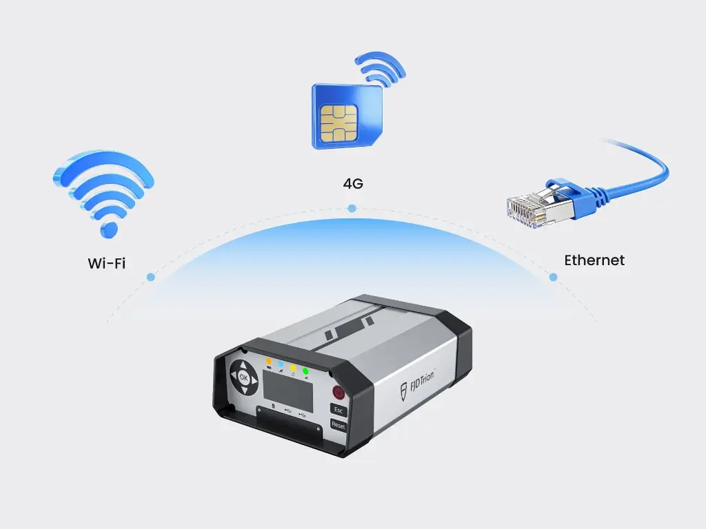
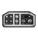
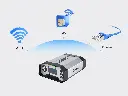
- Versatile Network Connectivity: Supports Ethernet, 4G and Wi-Fi, automatic redundancy and backup, ensuring uninterrupted data transmission.
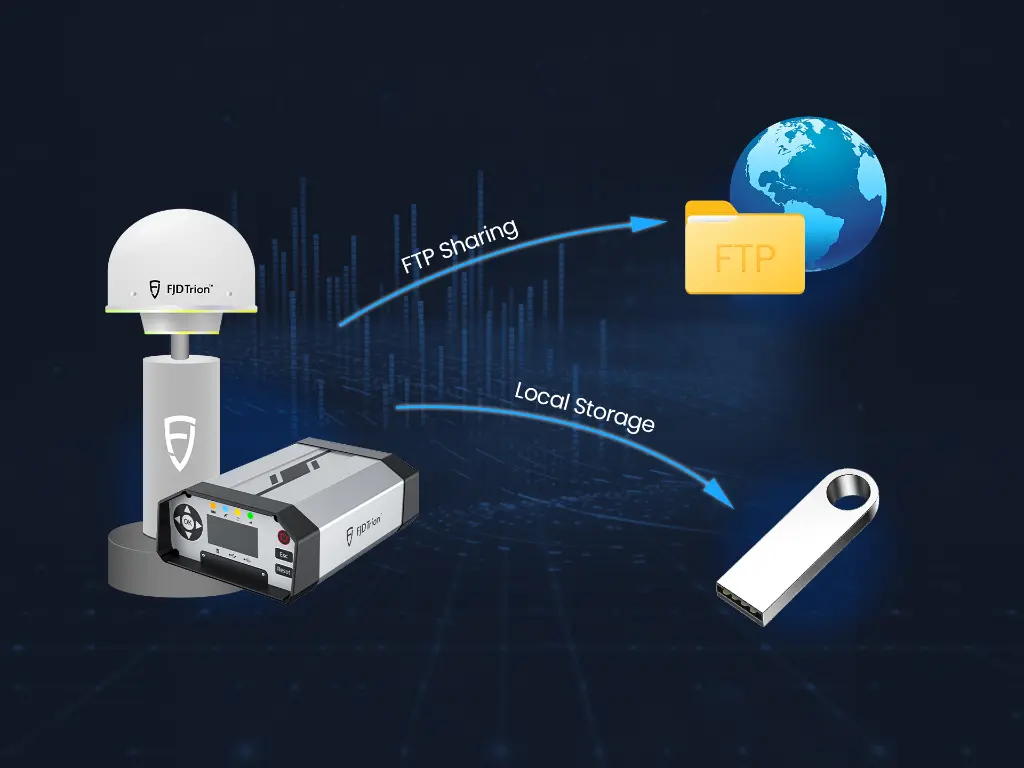
- Smart Data Management: Features built-in FTP push for raw observation data and local cyclic storage to ensure efficient transfer and secure backup.

Precision & Efficiency
The FJD Trion N10 GNSS CORS system delivers fast and stable RTK corrections with centimeter-level accuracy. Multi-constellation and multi-frequency support ensure reliable positioning for agriculture, land surveying, and robotics applications.

Compatibility & Speed
Fully compatible with mainstream RTK devices, the system supports RTCM2.x/3.x and NTRIP protocols. Quick setup and seamless connectivity make integration efficient for professional GNSS networks.

Management & Maintenance
Simplify station operations with remote management via the FLBS platform. Automatic alerts, NTRIP account management, and data backup reduce downtime and maintenance costs, ensuring reliable CORS network performance.
Package Contents Overview
The following lists detail the complete components included in the FJD N10 GNSS Reference Receiver system and the Choke Ring Antenna. Each item is carefully packed to ensure safe delivery and seamless setup, providing all necessary accessories, cables, and documentation required for immediate deployment and operation.
For a closer look, please watch our N10 Product Packaging Video, which demonstrates the unboxing and all included components.
Receiver Packing List
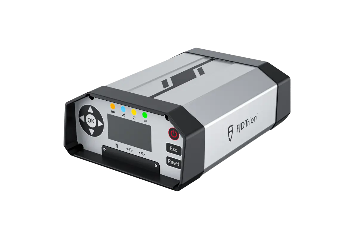
N10 GNSS Reference Receiver *1
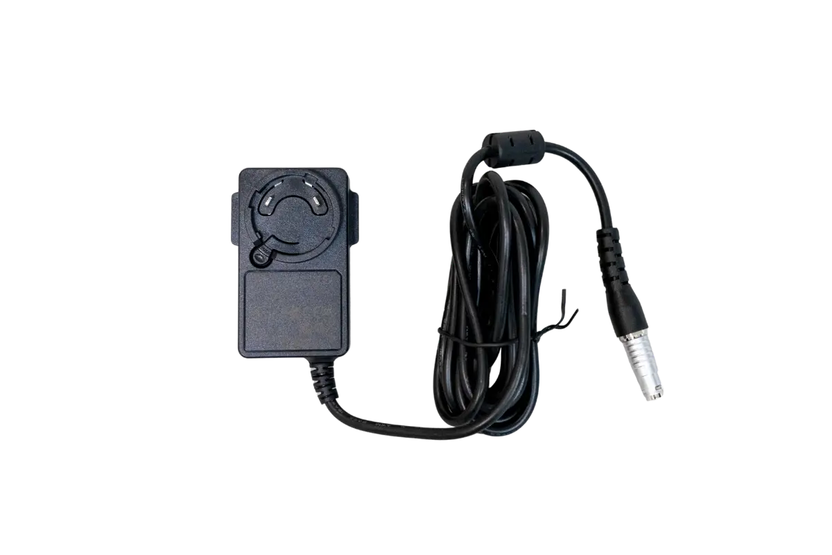
Power Adaptor *1
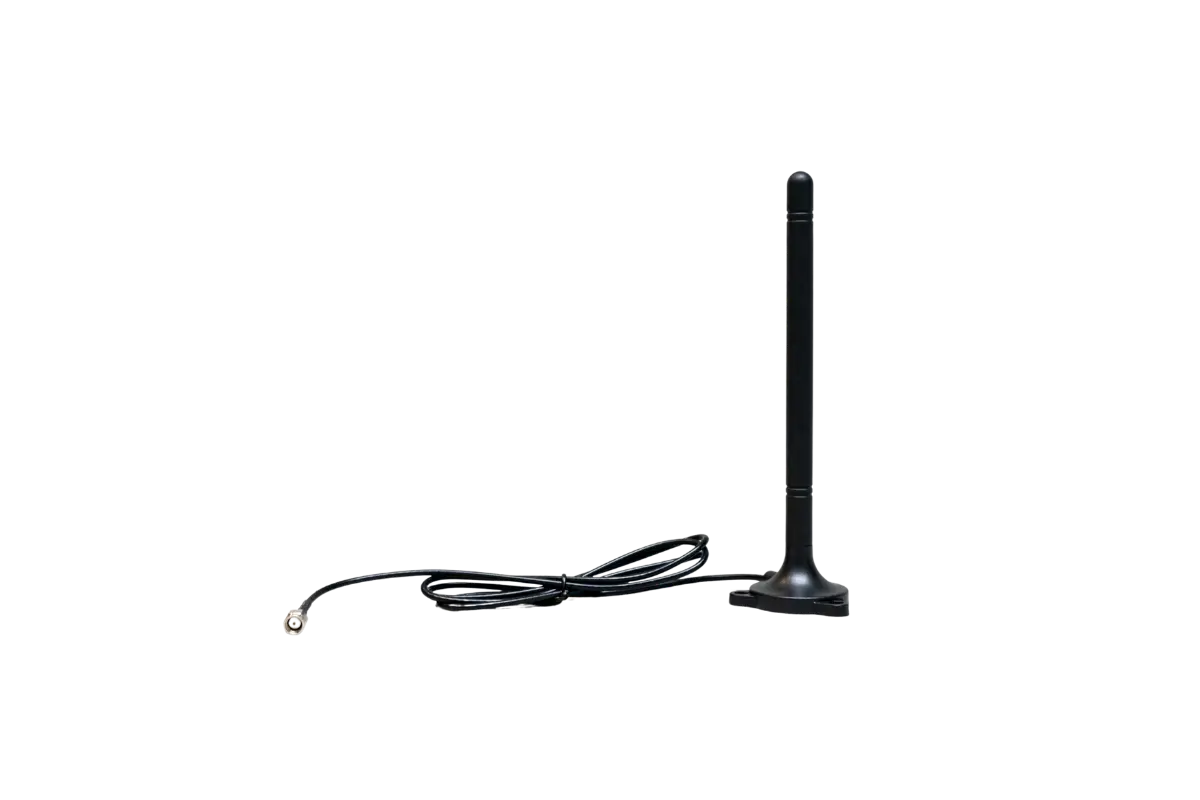
4G Antenna *1
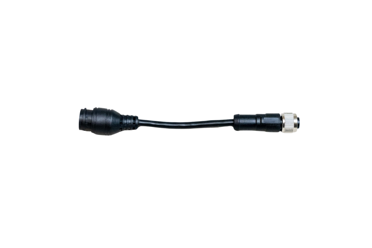
LAN Cable *1
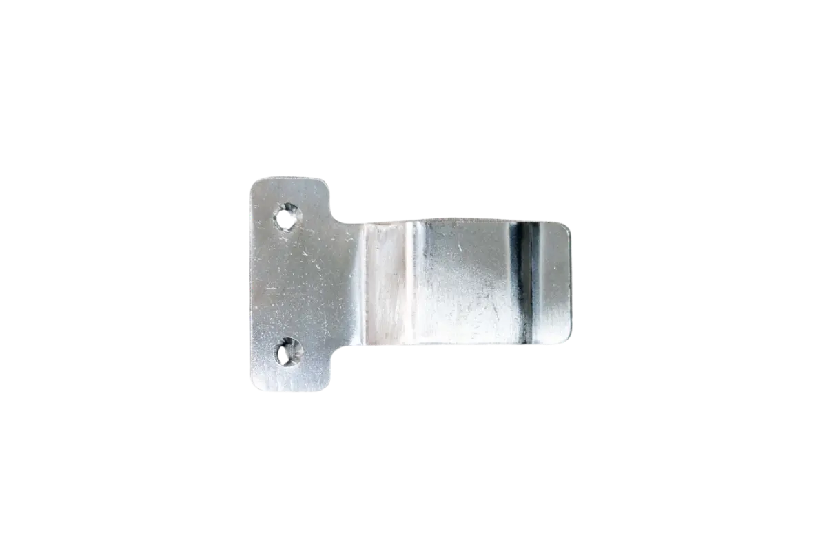
Spring Clasp *1

M3 Hexagon Socket Cap Screws *2
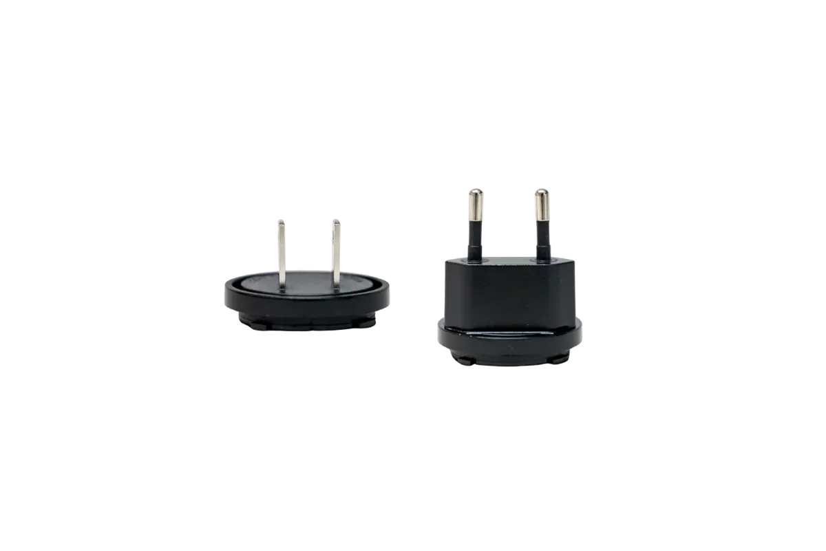
US Plug / UK Plug (choose one)*1

Hex Wrench *1
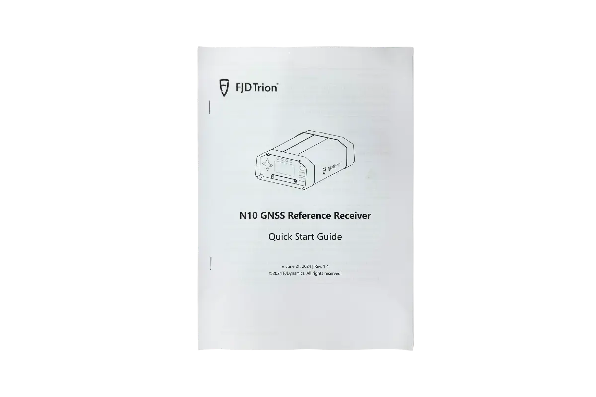
Quick Start User Guide *1
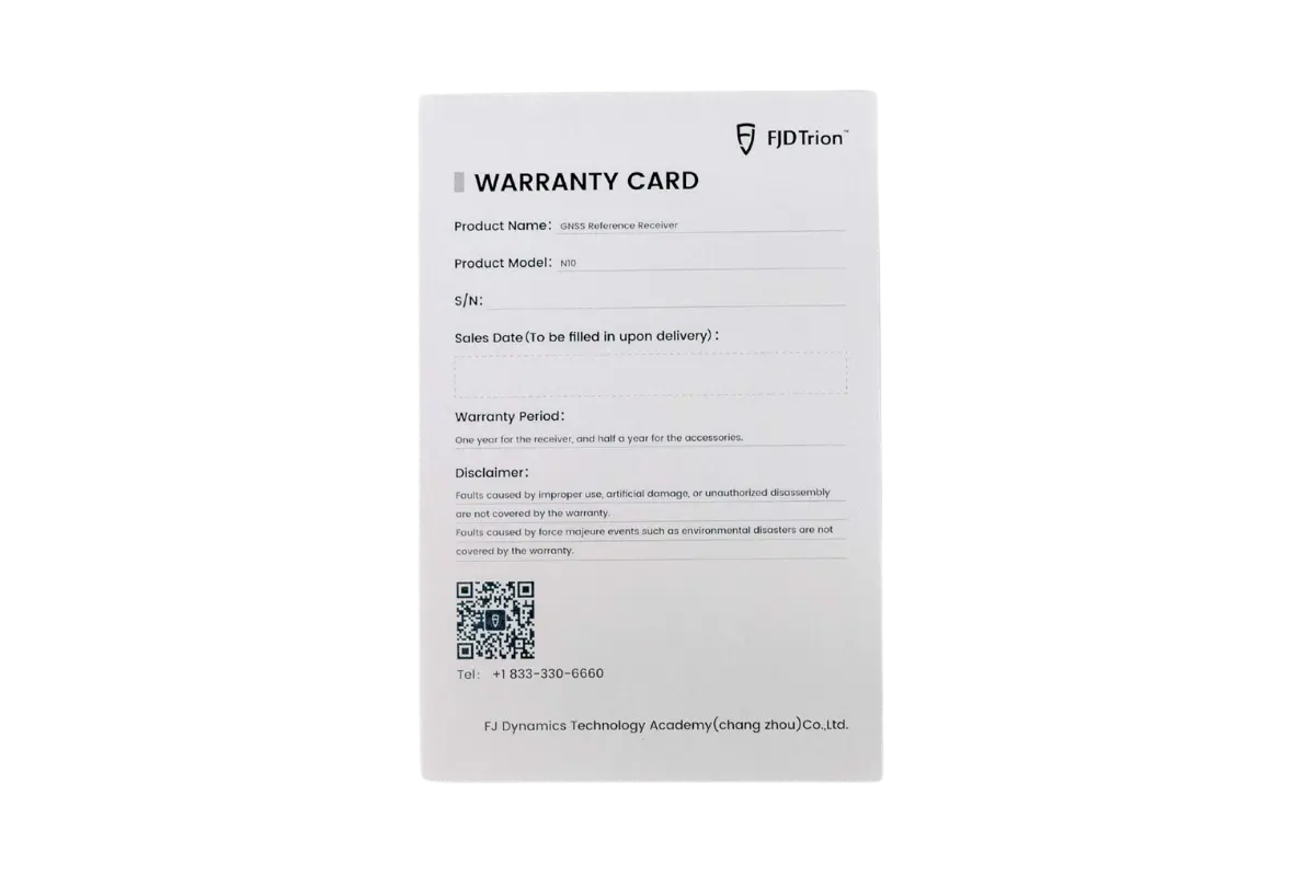
Warranty Card *1

Certification *1
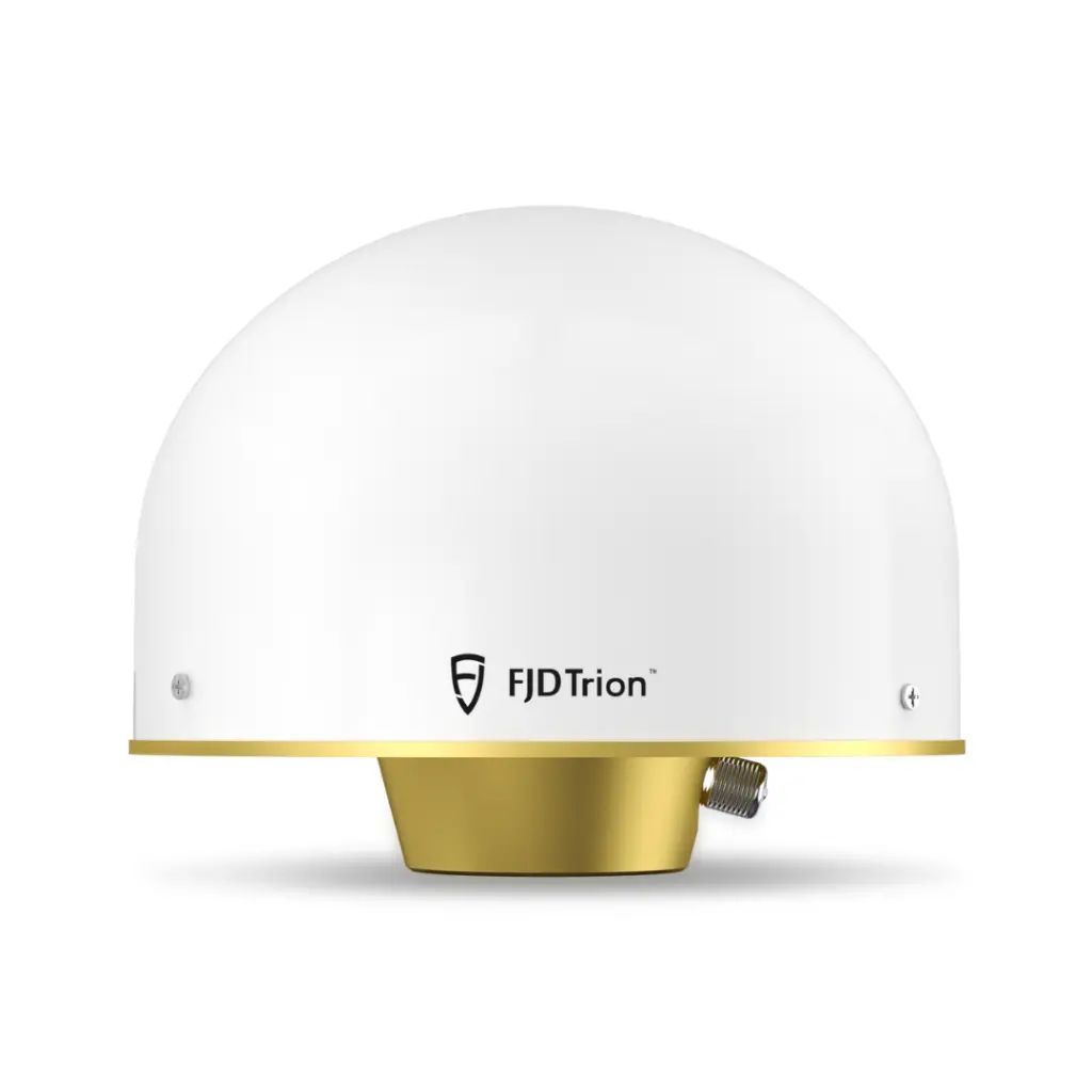
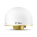
Choke Ring Antenna Packing List
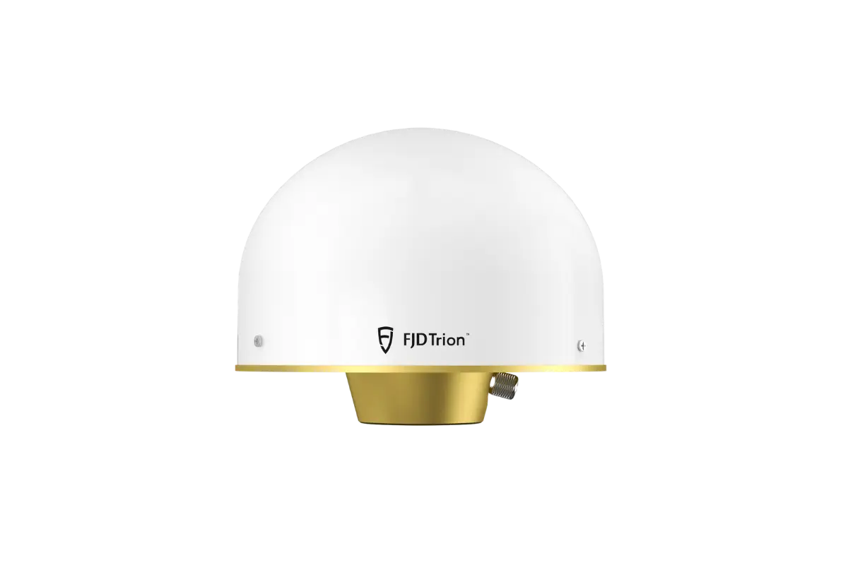
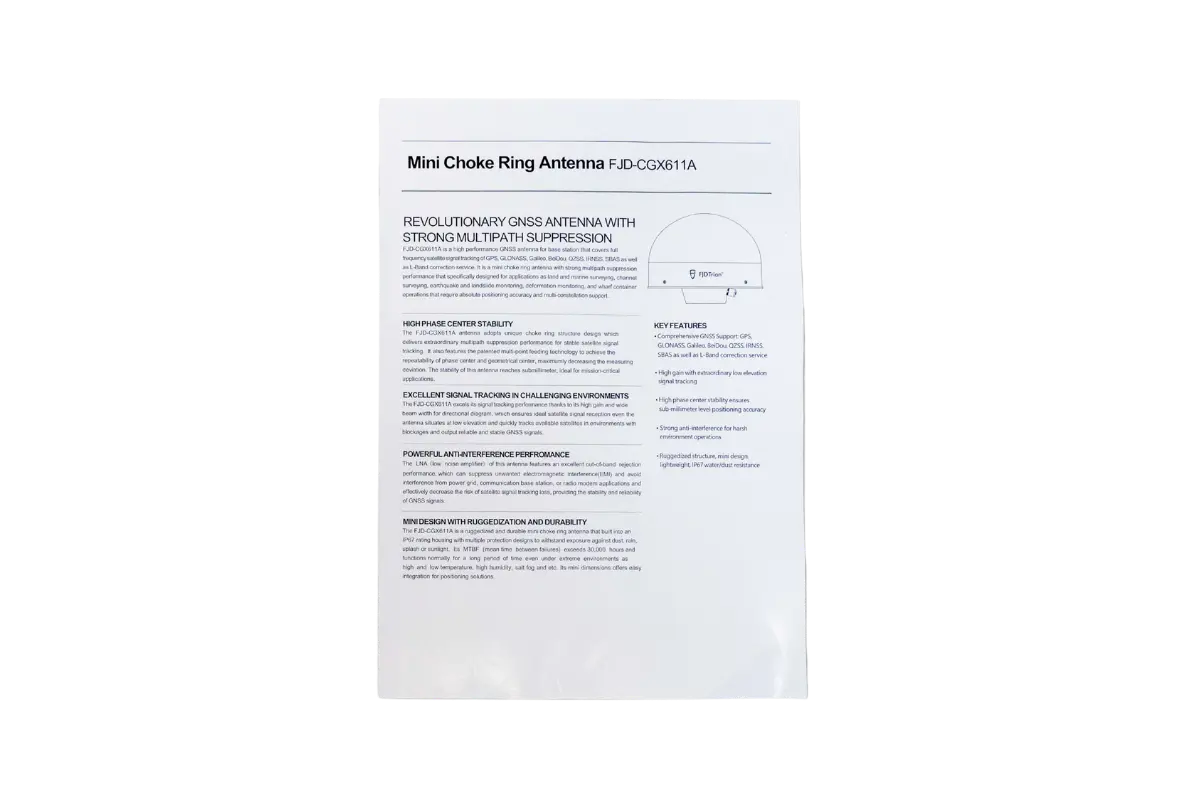
Choke Ring Antenna
*1
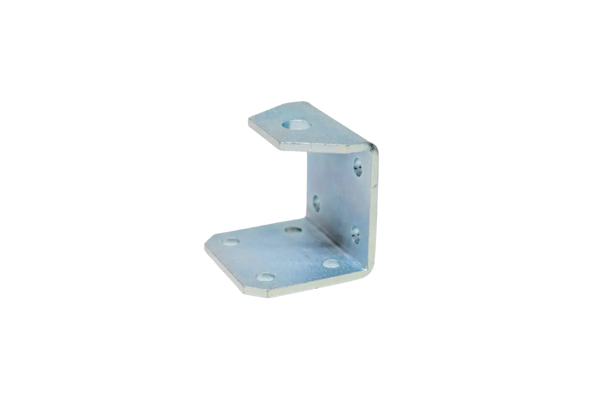
Clip *1

Spring Washer *1
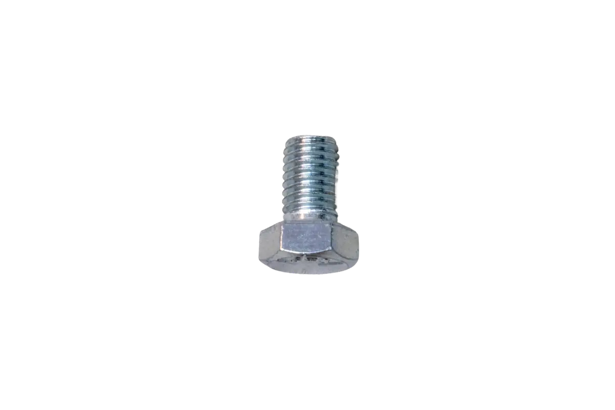
Bolt *1

Aluminum Pipe *1
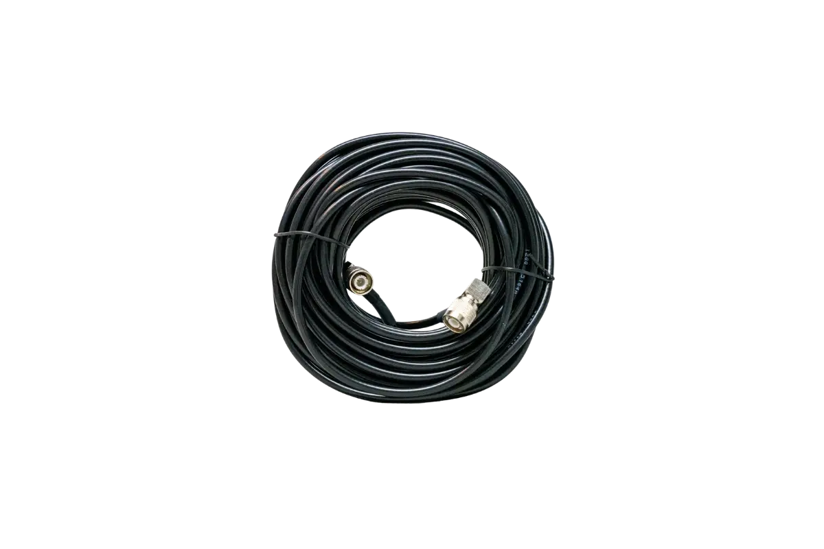
Feeder *1

Certification *1
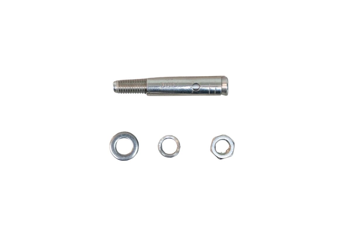
Expansion Bolt *4
User Manual *1